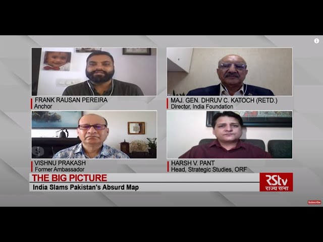
Rajya Sabha TV programs like ‘The Big Picture’, ‘In Depth’ and ‘India’s World’ are informative programs that are important for UPSC preparation. In this article, you can read about the discussions held in the ‘Big Picture’ episode on “India Slams Pakistan’s Absurd Map” for the IAS Exam.

India Slams Pakistan’s Absurd Map:- Download PDF Here
Anchor: Frank Rausan Pereira
Guests:
Maj. Gen, Dhruv C. Katoch (Retd.), Director, India Foundation
Vishnu Prakash, Former Ambassador
Harsh V. Pant, Head, Strategic Studies, ORF
What’s in the news?
- Pakistan has released a new political map laying claim to Indian territories of Jammu and Kashmir, Ladakh, and parts of western Gujarat.
- The map released by Pakistan emerged on the first anniversary of India’s decision to scrap special status for Jammu &Kashmir under Article 370.
- According to the Indian Government, this new effort only confirms the reality of Pakistan’s obsession with territorial aggrandizement supported by cross-border terrorism.
- India has dismissed the act, calling it an exercise in political absurdity as it makes assertions that lack global credibility.
- This has also been called the cartographic hallucination of Pakistan.
The present condition of Pakistan:
- Pakistan is on the Financial Action Task Force’s (FATF’s) grey list for its failure to combat money laundering and terror financing.
- The public debt of Pakistan is estimated to be about 98.2% of its Gross Domestic Product (GDP).
- During the fiscal year, 2019-20, Pakistan received $13.2 billion gross loans from bilateral and multilateral lenders including the International Monetary Fund (IMF).
- Pakistan is caught in a vicious cycle of debt-
- It has taken a loan of $1 billion from China to repay a $1 billion loan taken from Saudi Arabia.
- In 2018, Saudi Arabia had provided a $6.2 billion financial package to Pakistan for three years including cash assistance and annual oil and gas supply on deferred payments.
- Credibility of Pakistan in the international community is extremely low.
Why has Pakistan released this political map?
- The move could be viewed from two angles:
- As an act of cartographic aggression by Pakistan.
- As an act that displays disillusionment of Pakistan.
- Article 35A and various provisions of article 370 were abrogated by India in August 2019. Pakistan could not find any strategy to counter this move diplomatically.
- There seems to be tremendous domestic and international pressure on Pakistan’s military to counter India’s stand on Kashmir.
- The cartographic aggression against India also reflects Chinese hand.
- The Saltoro Range and the Siachin glacier are in the Indian Territory. However, in this map, Pakistan has extended the LOC eastwards up to Karakoram pass, so that it can claim territorial contiguity with China.
Siachen conflict
Siachen conflict:
- Siachen Glacier in Northern Kashmir is the highest battleground on Earth.
- The conflict in Siachen results from the incompletely demarcated territory on the map beyond the map coordinate known as NJ9842
- This had not been clearly defined by the Karachi agreement and Simla agreement.
- The influence of China over the entire Indian subcontinent has increased substantially.
- Both Nepal and Pakistan have released disputed territorial maps under the influence of China.
- Pakistan’s aggressive foreign policy is a reflection of Chinese expansionism in the Indian subcontinent. Pakistan wants China to enter the eastern Ladakh region.
- Nepal too had released a revised political map claiming key Indian territories of Kalapani, Lipulekh, and Limpiyadhura.
- Pakistan’s new political map includes entire Jammu & Kashmir, Ladakh, Sir Creek, and Junagadh.
- Junagarh’s inclusion in the map is a matter of surprise as it is not contiguous with Pakistan and it had joined the Indian union by a plebiscite in 1948.
Will Pakistan try to further destabilize Kashmir in future?
- Attempts by Pakistan to push terrorists into the Kashmir valley in order to draw the attention of the international community that the valley is experiencing unrest cannot be ruled out. However, it has failed in this attempt because there has been a dramatic reduction in violence in Kashmir, including a 60% decline in the incidents of stone-pelting.
- While normalcy has been returning to Kashmir over the last one year, a new kind of violence has been taking place recently.
- Instead of targeting the security forces, the insurgents have begun targeting political representatives.
- The aim is to create uncertainty and unrest in the region.
Best way forward:
- India’s foreign policy towards Pakistan is essentially a subset of India’s foreign policy towards China, as Pakistan derives its strength from China.
- India’s priority should be dealing with China. It must take firm measures to deal with China.
- India has to stand up against China’s salami-slicing policy.
- China is frustrated at India’s opposition to the Belt and Road Initiative (BRI), which is at the heart of Pakistan and China’s relationship.
- India has been successful in marginalizing Pakistan in the international community.
- India needs to adopt a similar step against China, by creating international solidarity, as other nations are also facing similar territorial threats from China.
- China and Pakistan also have their vulnerabilities such as Baluchistan and Taiwan, which India and other countries can take advantage of.
- Also, the Indian Government must issue a clear timeline and take efforts to make the people of Kashmir understand that an age-old dispute will take time to resolve.
Read previous RSTV articles for the IAS exam here.
| Related Links | |||
| Economics Notes For UPSC | International Relations Questions for UPSC Mains | ||
| Topic-Wise GS 3 Questions for UPSC Mains | PIB Summary | ||
| Documents Required for UPSC Exam | Top 5 Magazines for UPSC | ||
Comments